
NashvilleMaps provides a single place for Metro citizens to find any of the many interactive and static maps that Metro has to offer. With these maps you can discover information about your community, your property and even history. The interactive maps are full of options to customize a map to the level you need and the static maps provide high quality images that you can print for your own use.
NashView
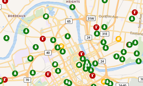
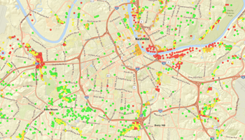
NashView is an easy-to-use map that helps you find out what’s happening in your community! This tool offers a number of ways to see data that’s important to you.
Use your home or work address or drag and zoom to find areas relevant to you. Create a free account to build and save custom searches and map views.
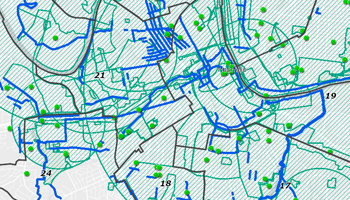
Nashville and Davidson County Interactive Maps
The user understands that the entities which comprise Metropolitan Government make no representations as to the accuracy of the information in the data, but rather, provide said information as is. The user knowingly waives any and all claims for damages against any and all of the entities comprising Metropolitan Government that may arise from the property data. This is not a legal document!
Users may print and electronically reproduce these maps, understanding that the conditions and limitations above apply.
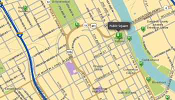
Parcel Viewer Map
Our Parcel Viewer site provides public access to parcel information and a variety of useful map layers for Davidson County.
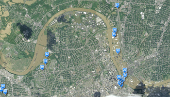
NashDigs
NashDigs is a web-based map viewer that provides users with online public access to information on active infrastructure construction projects in and around Nashville.
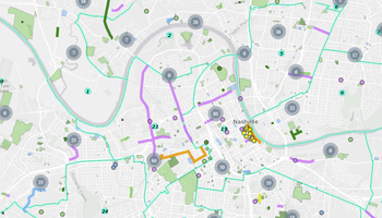
Development Tracker Map
Follow applications filed with the Metro Planning Department as they move through the approval process. View project plans and related comments from Planning and other Metro departments.
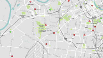
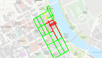
NDOT Active Street, Lane, and Sidewalk Closures
View active street, lane, and sidewalk closures in Nashville & Davidson County. This map is updated every two hours.
Right-of-Way Maintenance Services
The Right-of-Way Maintenance Services map displays the route schedule for each designated area in Nashville and Davidson County. Includes litter pick-up, alley maintenance, and mowing and trimming
Board of Zoning Appeals (BZA) Tracker Map
Follows appeals files with the Codes Administration to be heard by the Board of Zoning Appeals as they move through the appeal hearing process. View general information and hearing results about each.
Davidson County Digital Inclusion Map
Our Digital Inclusion Map helps users to find local support with devices, internet, tech support, and skills training.
District Data Dashboard
The District Data Dashboard enables council members and constituents to take a deep dive into demographic data from the 2020 Census and the 2017-2021 American Community Survey.
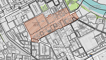
Metro Historic Zoning Commission Permit Tracker
The Historic Zoning Commission maintains this site to enhance public access to information about preservation permits within the historical overlays under review by the commission.
Capital Improvements Budget (CIB) Viewer Map
The Capital Improvements Budget Viewer shows projects from the 2023 Fiscal Year Capital Improvements Budget, covering the next six years. When possible, projects are mapped to a geographic location.
The Nashville Emergency Response Viewing Engine (NERVE) Map
Includes real-time information about road closures, school closings and locations of emergency shelters, food and water distribution centers and Disaster Assistance Centers.
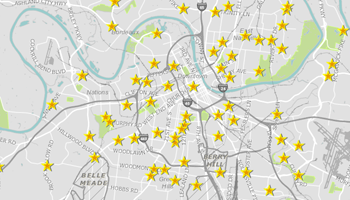
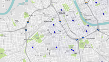
Election Day Polling Place Finder Map
This application helps voters find election day polling places, and identifies current elected officials in the county. Enter an address in the search window or click on the map.
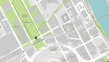
Nashville Parks Finder Map
Nashville Parks Finder provides residents and visitors an easy way to find parks near them, a park by its name, or recreation opportunities offered in parks within the community.
Create Mailing Lists Map
This map allows users to create mailing lists. Users can select parcels by parcel number, address, or shape. In addition, a buffer distance can be entered to select parcels within that area.
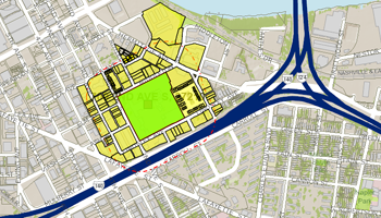
Specific Plan Zoning Map
View approved specific plans, including plans, related staff reports and Council bills.
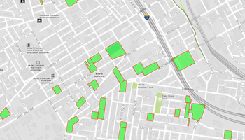
Green Development Map
View approved low-impact developments in Davidson County.
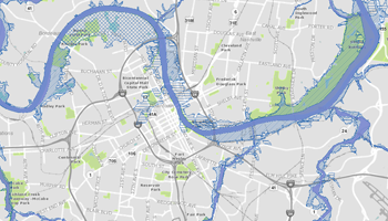
FEMA Floodplain Viewer Map
Floodplains and floodways, as defined by FEMA.
The Flood of 2010 Map
Flood Imagery and Damage Assessment from the May 2010 flood.
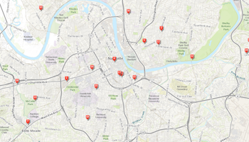
Nashville Cherry Blossom Festival Map
Nashville Cherry Blossom Festival Tree Planting Project. Enjoy all of these cherry blossom trees in Nashville parks and neighborhoods!
Nashville Rising: Nashville Public Library Story Map of May 2010 Flood
This maps contains images of the flooding and relief efforts. More images, as well as oral history interviews with those impacted by the flood, are available at the Nashville Public Library.
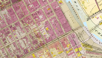
Historical Maps of Nashville
The historical maps of Nashville and Davidson County come from several collections. Most are copies of maps found and used by the Mapping section of the Planning Department.
Major and Collector Street Plan Map
View the comprehensive planning and implementation plan for guiding public and private investment in major streets.
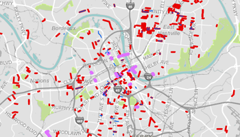
Tax Increment Financing Projects Map
This map provides information about the tax increment financing program administered by the Metropolitan Development and Housing Agency. It will be updated periodically as new projects are finalized.
Neighborhood Improvement Tracker
Displays a map of Metro funded capital projects along with select project information including a brief description of the project and the budget for the project.
Nashville and Davidson County Static Maps
The user understands that the entities which comprise Metropolitan Government make no representations as to the accuracy of the information in the data, but rather, provide said information as is. The user knowingly waives any and all claims for damages against any and all of the entities comprising Metropolitan Government that may arise from the property data. This is not a legal document!
Users may print and electronically reproduce these maps, understanding that the conditions and limitations above apply.

2023-2027 Council Members Poster (36x40)
Downloadable/Printable (36x40) poster with photos of Metro Council Members and Metro District Map.

2023-2027 Council Members Poster (11x17)
Downloadable/Printable (11x17) poster with photos of Metro Council Members and Metro District Map.
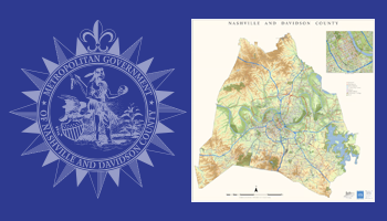
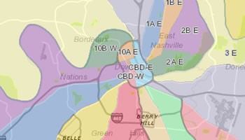
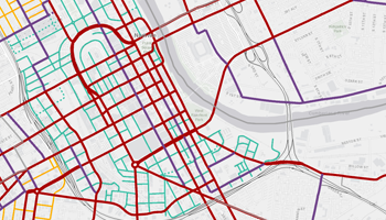
Nashville and Davidson County Street Map (42x42)
Downloadable/Printable map (42x42) of Nashville and Davidson County including streets, parks, neighborhoods and civic features.
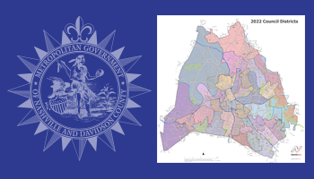
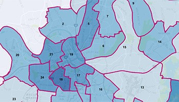
2022 Council Districts Poster
Downloadable/Printable poster showing the Davidson County Council Districts. These districts will become effective with the August 2023 Council Election.
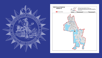
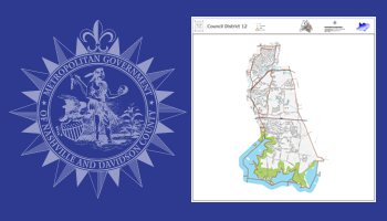
2022 Individual Council District Posters
Downloadable/Printable poster for each individual 2022 Council District for Davidson County.
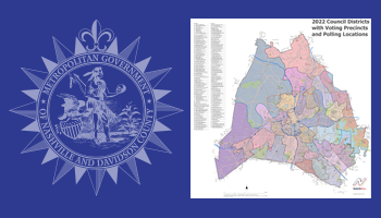
2022 Council Districts with Voting Precincts and Polling Locations Poster
Downloadable/Printable poster showing the Davidson County Council Districts with Voting Precincts and Polling Locations. These districts will become effective with the August 2023 Council Election.
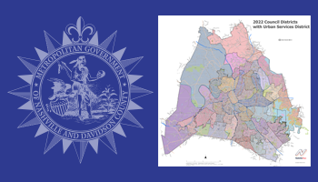
2022 Council Districts with Urban Services District
Downloadable/Printable poster showing the Davidson County Council Districts with Urban Services District. These districts will become effective with the August 2023 Council Election.
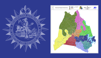
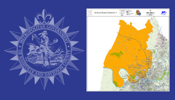
2011 School Board Districts Poster
Downloadable/Printable poster for School Board Districts for Davidson County.
2011 Individual School Board Districts Posters
Downloadable/Printable posters for each School Board District for Davidson County.
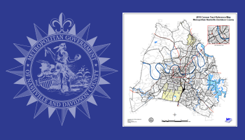
2020 Census Tracts Poster
Downloadable/Printable posters showing Census Tracts for Davidson County.
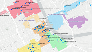
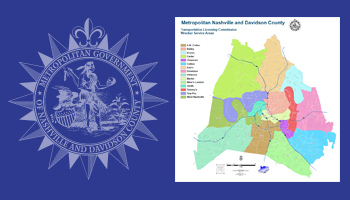
Community Planning Areas Poster (11x17)
Downloadable/Printable 11x17 poster showing Community Planning Areas for Davidson County.
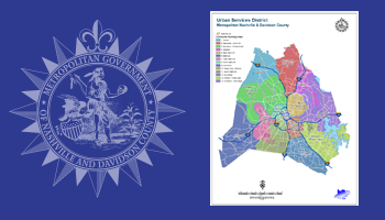
Urban Services District Poster
Downloadable/Printable poster showing the Urban Services District for Davidson County.
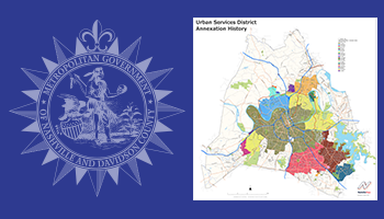
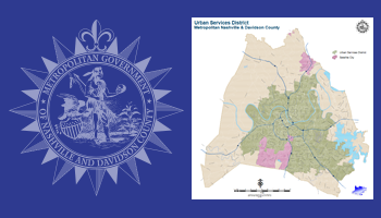
Urban Services District Annexations Poster
Downloadable/Printable poster showing the Urban Services District Annexations for Davidson County.
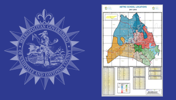
School Locations Poster
Downloadable/Printable poster showing the school locations for Davidson County.
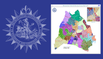
Zip Codes Poster
Downloadable/Printable poster showing the zip codes for Davidson County.
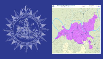
Urban Zoning District Poster
Downloadable/Printable poster showing the Urban Zoning District for Davidson County.
Wrecker Zones Poster
Downloadable/Printable poster showing the Wrecker Zones for Davidson County.
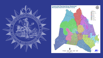
Community Planning Areas Poster (36x36)
Downloadable/Printable 36x36 poster showing Community Planning Areas for Davidson County.
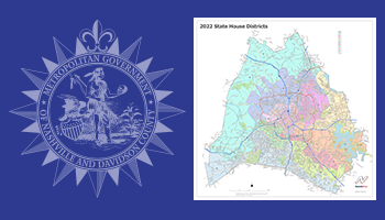
2022 State House Districts Poster
Downloadable/Printable poster showing the State House Districts for Davidson County. These districts will become effective with the November 2022 House Election.
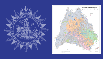
2022 State Senate Districts Poster
Downloadable/Printable poster showing the portions of State Senate Districts covering Davidson County. These districts will become effective with the November 2022 Senate Election.
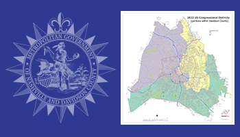
2022 US Congressional Districts Poster
Downloadable/Printable poster showing the portion of US Congressional Districts covering Davidson County. These districts will become effective with the November 2022 Congressional Election.
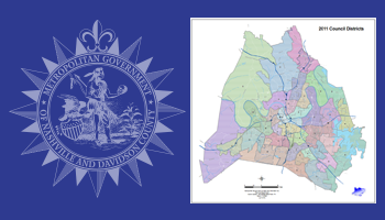
Historic 2011 Council Districts Poster
Downloadable/Printable poster showing the Davidson County Council Districts.
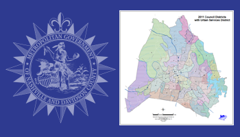
Historic 2011 Council Districts with Urban Services District Poster
Downloadable/Printable poster showing the Davidson County Council Districts with Urban Services District.
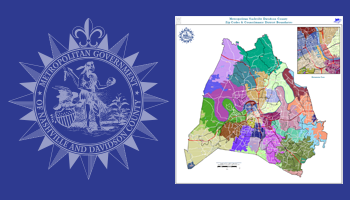
Historic 2011 Council Districts with Zip Codes Poster
Downloadable/Printable poster showing the Davidson County Council Districts with Zip Codes.
Historic 2011 Individual Council Districts Poster
Downloadable/Printable poster for each individual 2011 Council District for Davidson County.