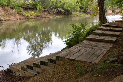
Davidson County lies entirely within the Cumberland River drainage, and that river bisects the county from east to west. The Cumberland is joined by the Stones River upriver of downtown Nashville. The Harpeth River skirts the southwest edge of the county, but its confluence with the Cumberland is further downstream in Cheatham County. In addition to the three rivers, numerous creeks and smaller tributaries flow into the three rivers. Each of the rivers and some of the tributary streams are large enough to support use by recreational canoeists and kayakers, at least for a large part of the year.
Public Access Points

This information concerns access for small crafts including canoes and kayaks. In Davidson County, public access points provide 87.1 miles for paddling on:
- Cumberland River (51 miles)
- Cumberland Basin Recreation Map - Access Points
- Harpeth River (7.6 miles)
- Mill Creek (17 miles)
- Stones River (6.6 miles)
- Whites Creek (4.9 miles)
For information about motorized boats or sailboats, please check out our boat ramp or marina sections.
